- Acasă
- Electronice de consum
- Auto
- Navigare
- Hărți de navigare
- Garmin HXEU058R - Greenland West – 010-C1001-20
Garmin HXEU058R - Greenland West

Garmin HXEU058R - Greenland West
MPN 010-C1001-20
EAN/UPC 753759090319
Starea stocului
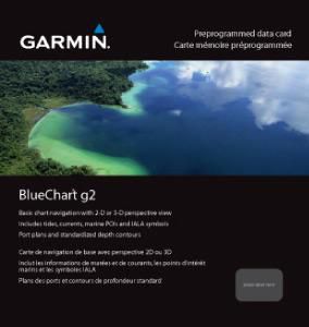
- Includes realistic navigation features showing everything from shaded depth contours and coastlines to spot soundings, navaids, port plans, wrecks, obstructions, intertidal zones, restricted areas, IALA symbols and more.
- Features smooth displays, including seamless transitions between zoom levels and more continuity across chart boundaries.
- Allows users to choose between standard 2-D direct overhead or 3-D "over the bow" map perspective to make chart reading and orientation easier.
Specificații pentru 010-C1001-20
Features
Geographic coverage
Greenland West
Type
Road map
Package dimensions
Depth (package,cm)
13,018 cm
Gross Weight (Package, kg)
0,1 kg
Height (package,cm)
0,953 cm
Width (package,cm)
12,065 cm
Product dimensions
Net Weight (Product, kg)
0,09 kg
Product Depth
0,2 cm
Product Height
3,2 cm
Product Width
2,4 cm
System requirements
Minimum processor
Intel, PowerPC G4
Minimum RAM
1024 Mega bites
Vendor information
Brand Name
Warranty
2 An(i)
Descriere
HXEU058R - Greenland West
- Includes realistic navigation features showing everything from shaded depth contours and coastlines to spot soundings, navaids, port plans, wrecks, obstructions, intertidal zones, restricted areas, IALA symbols and more.
- Features smooth displays, including seamless transitions between zoom levels and more continuity across chart boundaries.
- Allows users to choose between standard 2-D direct overhead or 3-D "over the bow" map perspective to make chart reading and orientation easier.
- Provides Safety Shading (in compatible units), allowing mariners to enable contour shading for all depth contours shallower than user-defined safe depths.
- Provides Fishing Charts (in compatible units), allowing mariners to scope out bottom contours and depth soundings with less visual clutter on the display.
- Allows users to conveniently plan and organize routes, from your computer, before your trip with HomePort™, compatible trip-planning software (sold separately).
*Datele despre produsul de mai sus sunt furnizate de Icecat. EET nu poate fi făcut responsabil pentru erori în legătură cu aceasta.